
Thunderquakes Reveal Subsurface
Scientists use thunderquakes to image the Earth's subsurface, revealing hidden structures and processes.
Introduction To Thunderquakes
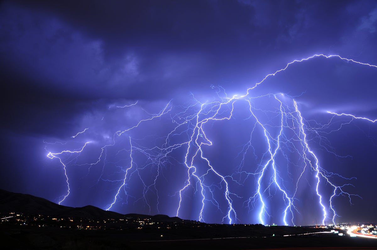
When lightning strikes, it creates a shock wave that produces the sound we know as thunder. However, this energy does not just travel through the atmosphere; some of it is converted into seismic waves that ripple through the soil and rock beneath the ground, creating what are known as "thunderquakes." Until recently, scientists have not fully understood these signals, but new research shows that thunderquakes can be used to map the structure beneath the Earth's subsurface, revealing hidden details such as groundwater movement, environmental contamination, and even the stability of building sites and foundations.
Experimental Methodology
The research team used a technique called distributed acoustic sensing to turn an ordinary fiber-optic cable into a string of thousands of vibration sensors. By sending light through the cable and measuring tiny changes caused by vibrations along its length, the team was able to capture detailed information about the seismic waves produced by thunderquakes. The experiment used a cable over 2 miles long, providing more than 2,100 sensors spaced just a few feet apart. Over two years, the team recorded and identified 458 clear, high-quality thunderquakes, allowing them to study the specific types of seismic waves produced when sound from the atmosphere interacts with the ground.
Seismic Dispersion And Subsurface Imaging
The key to using thunderquakes to image the subsurface lies in a phenomenon called seismic dispersion, where waves of different frequencies travel at different depths. By measuring how the thunderquake's wave speeds changed with frequency, the team could reconstruct the seismic wave speed at different depths, allowing them to interpret the properties of the ground beneath the fiber. This technique effectively creates an "X-ray" of the subsurface, extending roughly 300 feet underground without the need for drilling or specialized equipment. The resulting image provides valuable information about the structure and composition of the subsurface, which could be used to monitor groundwater movement, detect environmental contamination, or evaluate the stability of building sites and foundations.
Real-World Implications And Future Outlook
The ability to use thunderquakes to image the subsurface has significant real-world implications. Traditional methods for imaging the subsurface, such as truck-mounted vibration sources or arrays of sensors, can be expensive and difficult to deploy over large areas. In contrast, thunderstorms offer a naturally occurring source of seismic energy that is already spread across the landscape, and fiber-optic cables are buried beneath cities and towns around the world. By using existing infrastructure and seismic energy from thunderstorms, it may be possible to monitor the shallow subsurface continuously, providing valuable insights into the hidden structures and processes that shape our environment.
Conclusion And Future Directions
The discovery that thunderquakes can be used to image the subsurface is an exciting development with significant potential for practical application. As the technology continues to evolve, it may become possible to use thunderquakes to monitor the subsurface in real-time, providing early warnings of potential hazards such as sinkholes or environmental contamination. The use of distributed acoustic sensing and seismic dispersion to study thunderquakes is a powerful example of how innovative techniques and technologies can be used to reveal new insights into the Earth's subsurface, and it is likely that this research will have a lasting impact on our understanding of the complex processes that shape our planet.
Sources
This is an original synthesis by Qivorane based on reporting from the outlets below.
Additional coverage: