
Mount Michael Volcano
NASA satellite images reveal volcanic activity at Mount Michael, a stratovolcano in the South Atlantic.
Introduction To Volcanic Activity
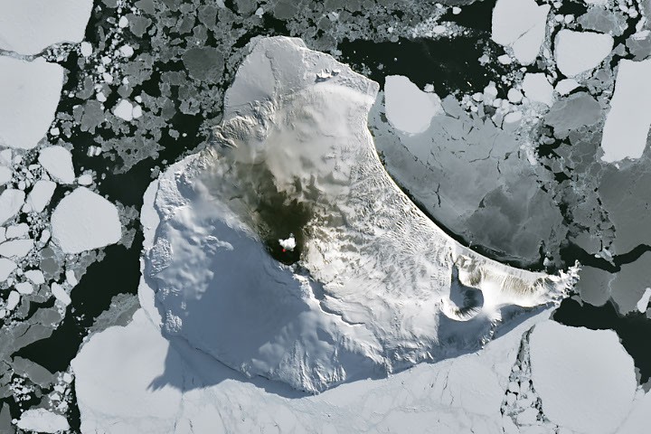
The remote South Atlantic is home to a chain of small volcanic peaks known as the South Sandwich Islands, where Mount Michael, a stratovolcano, has been exhibiting persistent volcanic activity. As the austral winter came to an end, a rare satellite image captured the volcano's activity, revealing a bright spot at Mount Michael. The image, acquired by the Operational Land Imager (OLI) on the NASA-USGS Landsat 8 satellite, shows the volcano's summit crater with a persistent lava lake, indicated by an infrared signal overlaid on the natural-color image.Volcanic Mechanisms And Observations
The South Sandwich Islands were formed as a result of the South American plate subducting beneath the tiny South Sandwich plate, leading to regular eruptions on the islands. Mount Michael is one of the few volcanoes on Earth with a persistent lava lake in its summit crater, similar to Kīlauea, Nyamulagira, and Erta Ale. Scientists rely on satellite data to understand the volcano's activity due to its remoteness. Thermal observations from the Moderate Resolution Imaging Spectroradiometer (MODIS) and Visible Infrared Imaging Radiometer Suite (VIIRS) instruments have enabled long-term monitoring of Mount Michael. Data from the MIROVA near-real-time volcanic hot spot detection system indicate that low-intensity activity has been ongoing at the volcano for several years.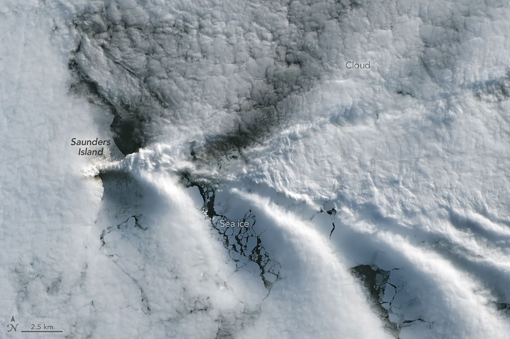
Satellite Imagery And Detection
The clear satellite image of Mount Michael was short-lived, as clouds returned to the area just a week later. However, the interaction between the island and the atmosphere produced a series of wave clouds, resembling the wake of a ship, which is a common phenomenon in the region. False-color imagery captured by NASA's Aqua satellite also indicated the presence of a volcanic track caused by degassing sulfur dioxide. The use of satellite imagery has been crucial in monitoring Mount Michael's activity, providing valuable insights into the volcano's behavior.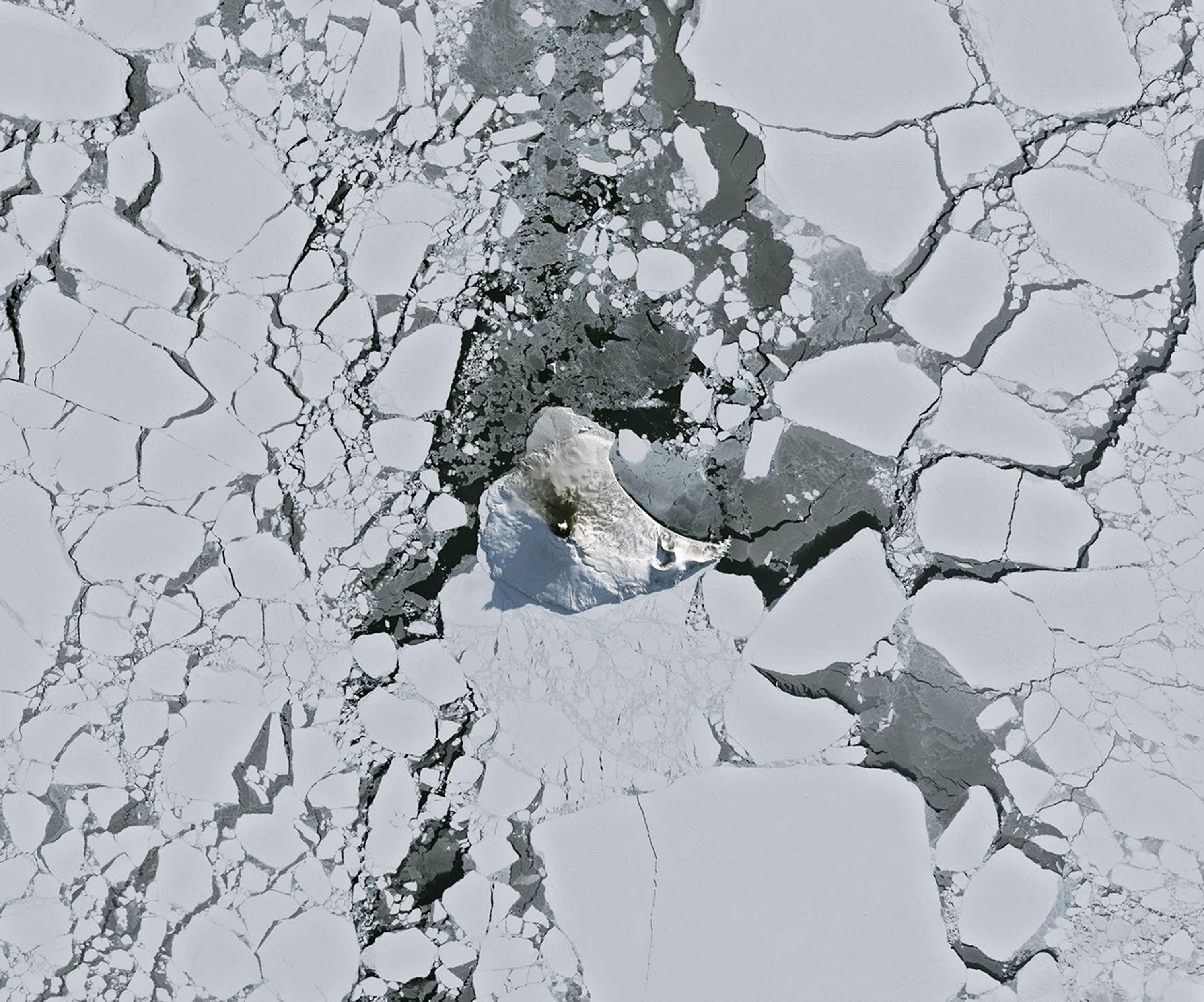
Real-World Implications And Future Outlook
The study of Mount Michael's volcanic activity has significant implications for our understanding of volcanic mechanisms and the potential risks associated with eruptions. The persistent lava lake in the summit crater is a unique feature that provides scientists with opportunities to study volcanic behavior in detail. The use of satellite imagery and detection systems like MIROVA has enabled researchers to monitor the volcano's activity remotely, reducing the risks associated with field observations. As technology continues to advance, it is likely that our understanding of volcanic activity will improve, enabling better predictions and mitigations of volcanic eruptions.
Conclusion And Further Research
In conclusion, the bright spot at Mount Michael is a fascinating example of volcanic activity in a remote and inhospitable region. The use of satellite imagery and detection systems has enabled scientists to study the volcano's behavior in detail, providing valuable insights into volcanic mechanisms. Further research is needed to fully understand the implications of Mount Michael's activity and to improve our predictions of volcanic eruptions.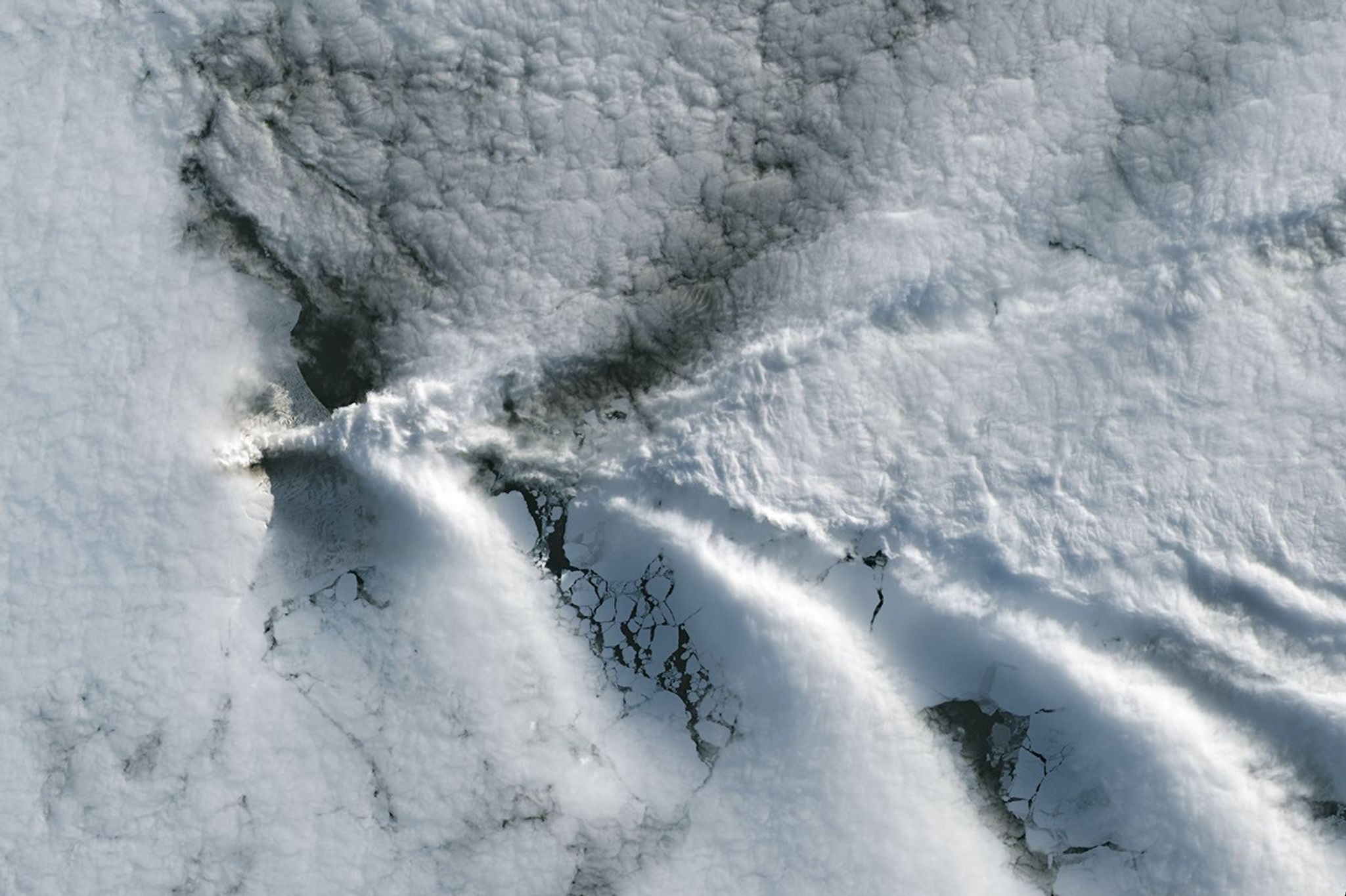
Sources
This is an original synthesis by Qivorane based on reporting from the outlets below.