
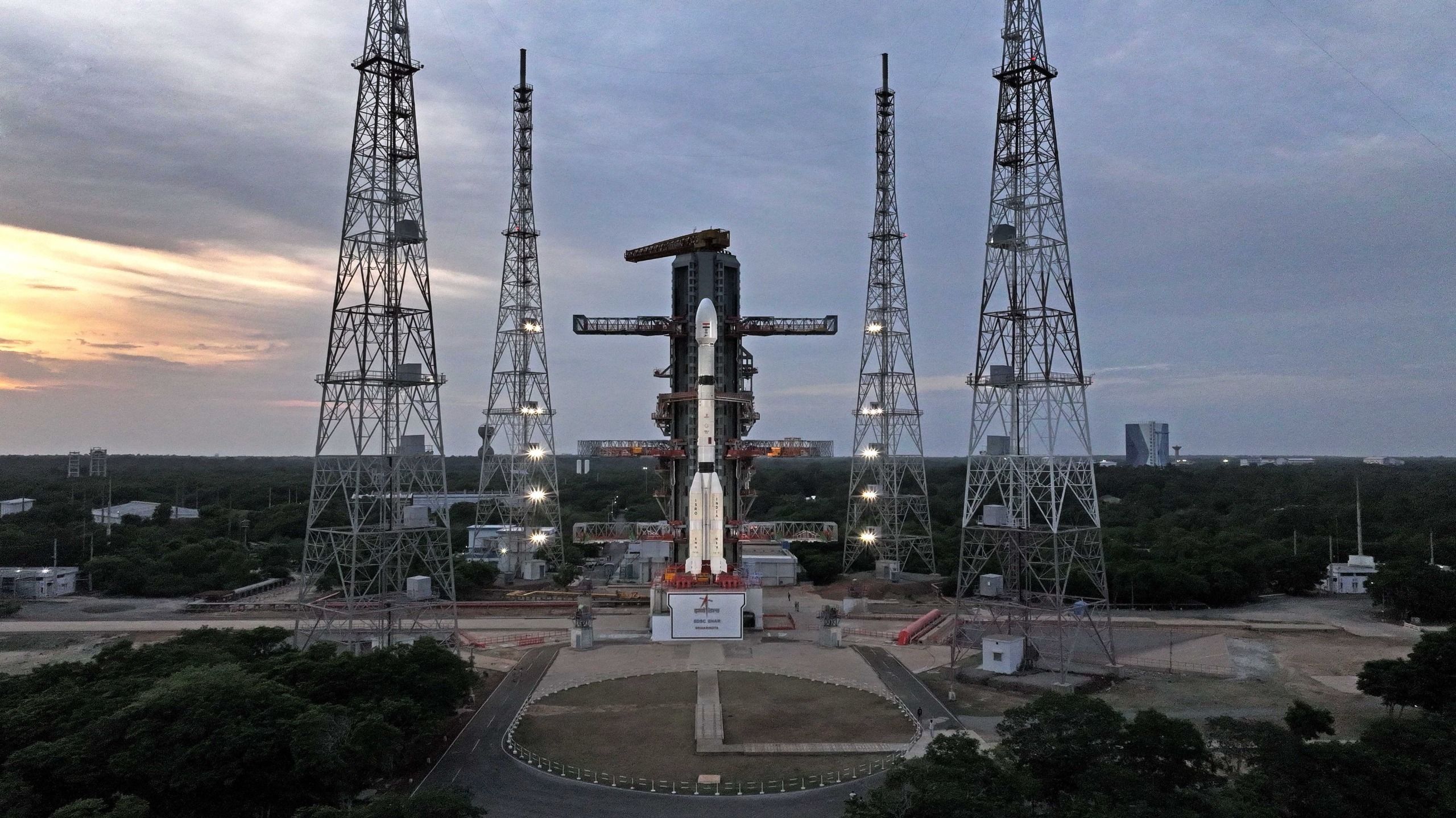
India Launches 1st Geosynchronous Satellite
India launches its first geosynchronous Earth-imaging satellite, EOS-05, on a GSLV Mark II rocket
Introduction To Geosynchronous Earth-Imaging Satellites
India is on the verge of achieving a significant milestone in its space exploration program with the launch of its first geosynchronous Earth-imaging satellite, EOS-05. The satellite is scheduled to launch on a GSLV Mark II rocket from the Satish Dhawan Space Centre, marking a major breakthrough in the country's ability to monitor its territory and environment from space. This launch is a crucial step forward for India, as it seeks to expand its capabilities in Earth observation and remote sensing.
The Significance Of Geosynchronous Orbit
Geosynchronous orbit, which lies approximately 22,236 miles above the Earth's surface, is a critical altitude for satellites due to its unique properties. At this height, a satellite's orbital speed matches the Earth's rotational speed, allowing it to "hover" over a specific region of the planet. This makes geosynchronous orbit an ideal location for weather, communications, and spy satellites, as they can provide continuous coverage of a particular area. The EOS-05 satellite will take advantage of this orbit to provide persistent coverage of the Indian subcontinent, including remote border areas, strategic assets, and environmental events.
Technical Details Of The EOS-05 Mission
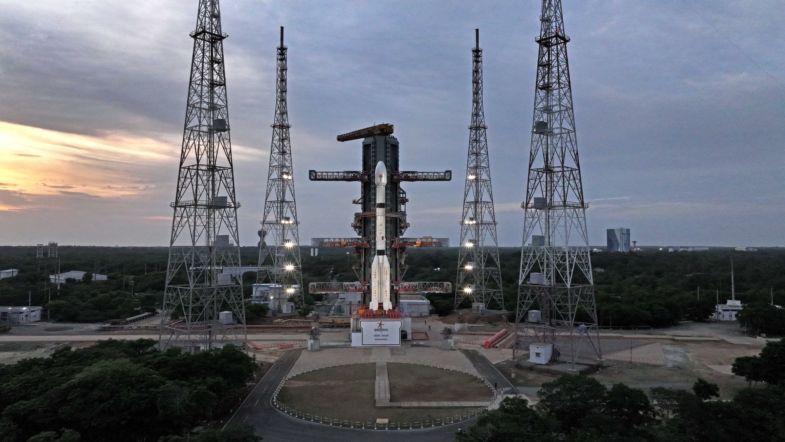
The EOS-05 satellite weighs approximately 5,218 pounds and is designed to be a state-of-the-art Earth observation spacecraft. The GSLV Mark II rocket, which will carry the satellite into space, is a three-stage vehicle that stands 170 feet tall. The rocket has a proven track record, with 10 successful launches out of 12 attempts. The EOS-05 mission will be the third orbital mission for India in 2026, following a failed launch in January and a successful private orbital launch in July.
Applications And Implications Of The EOS-05 Satellite
The EOS-05 satellite will have a range of applications, including both civilian and military uses. Its ability to provide persistent coverage of the Indian subcontinent will make it an invaluable tool for monitoring remote border areas, tracking severe weather events, and detecting environmental changes. The satellite's data will also be used to support strategic assets and provide critical information for decision-making. The success of the EOS-05 mission will mark a significant milestone in India's space program, demonstrating its capabilities in Earth observation and remote sensing.
Conclusion And Future Outlook
The launch of the EOS-05 satellite is a major step forward for India's space program, and its success will have significant implications for the country's ability to monitor its territory and environment. With its state-of-the-art technology and strategic orbit, the EOS-05 satellite will provide critical information and support for a range of applications. As India continues to expand its capabilities in space exploration, the EOS-05 mission will serve as a key milestone in the country's journey to become a major player in the global space industry.
Sources
This is an original synthesis by Qivorane based on reporting from the outlets below.